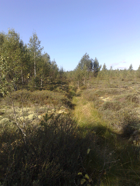
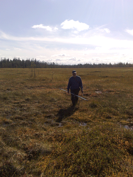
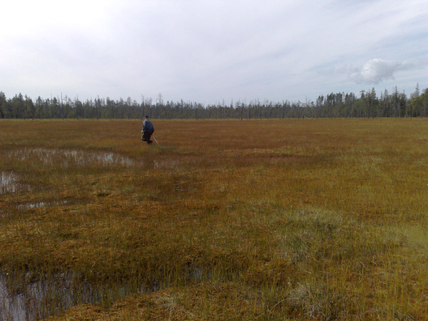
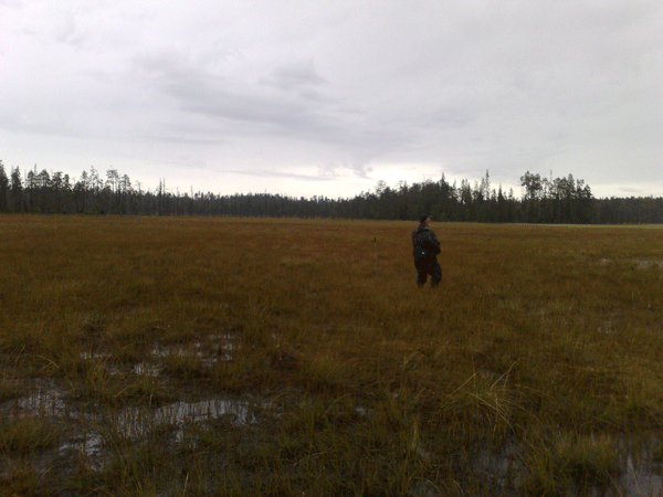
On August 20 – 23.2013 short term exploratory investigation of few selected bogs of Kostomuksha region in order to estimate potential possibility to use mire massifs or their parts for future fuel peat production was done. Thickness and type of peat deposits was examined. With the help of GPS navigator coordinates of investigated mires were defined and in accordance with the “Map of Peat Deposits of the Karelian Autonomous Soviet Socialist Republic. 1: 500 000” (1979) cadastral numbers of selected mires were identified. In this report names of mires (deposits) that were used in earlier published investigations are used.
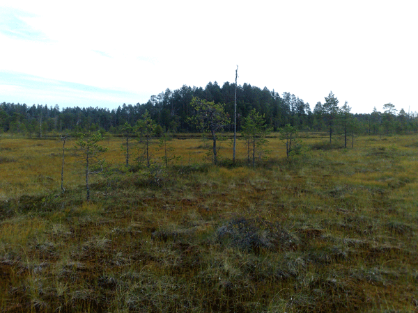
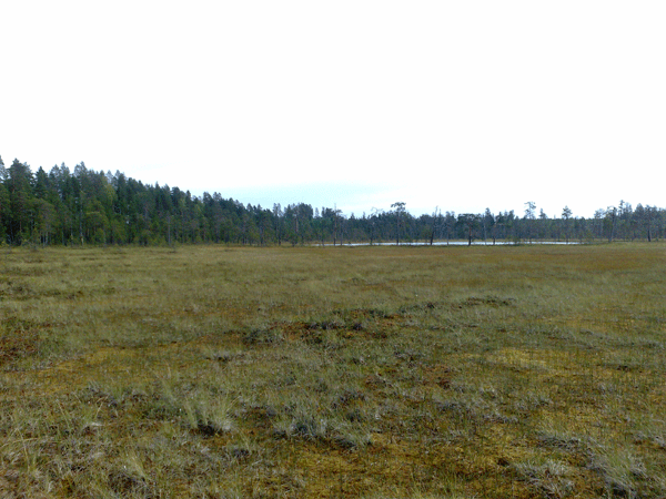
Thanks to the dissected ridge relief of the area, small mire massifs prevail around Kostamuksha. Typically the bogs are less than 100 ha (sometimes up to 200 ha), most of them have narrow and elongated shape. At that many of them are connected with each other by narrow and shallow peat layer to shaped mire systems, sweeping for kilometers. At the “Map of Peat Deposits” (1979) many mire systems are marked as one whole (because of the scale) peat deposit with very general traverse sketch and large area. But in the reality they have unevenness of shore line with narrow embayments, mineral islands and small lakes and it creates obstacles for industrial peat production.
In 1993 «Sevzapgeologia» company has carried out preliminary investigations in Kostomuksha area for the purpose of estimation of fuel peat resources for construction of CHP plant in Kostomuksha. As it was discovered, results of this investigation remain deposited in the archive of Karelian Geological Fund. Studying of these materials is planned as a next step in the Project. A sketch map (a scale 1: 100 000) with cadastral numbers of peat deposits is prepared and all investigated areas might be referred to these numbers and very general maps. As a result of analysis of satellite images a sketch map of peat deposits east from Kostomuksha was produced (Fig. 1 and 2) it’s obvious that structure of these massifs is much more shaped than it was shown in earlier investigations.
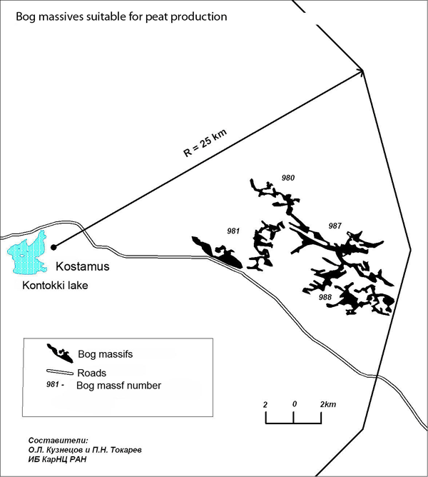
Fig.1
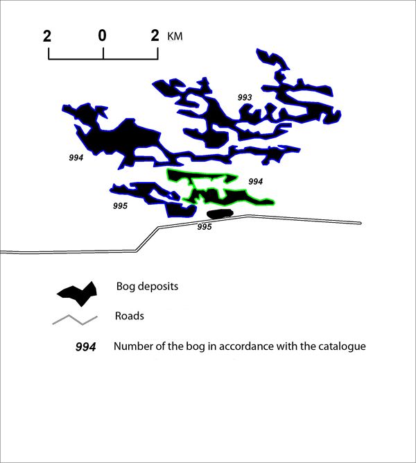
Fig. 2
Bogs along Kostomuksha – Ledmozero road.
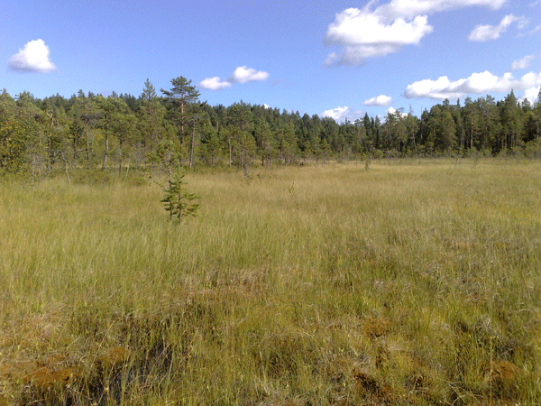
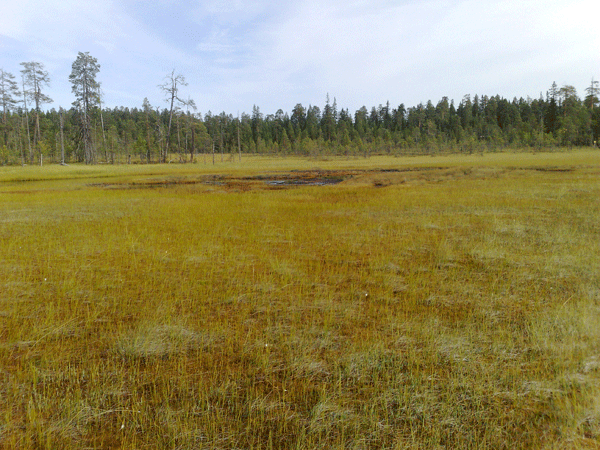
1. Bog located on the 138 km from Ledmozero direction (part of the massif with cadastral number 1314 - see the photo below). Years ago was drained for forestry. Is a part of raised bog, located on the southern side of Kostomuksha – Ledmozero road (64º30135, 31º79108). Open ditch network system still exists and afforestation is going on. Peat layer thickness is 0,5-0,8 m. This deposit can’t be used for peat production.
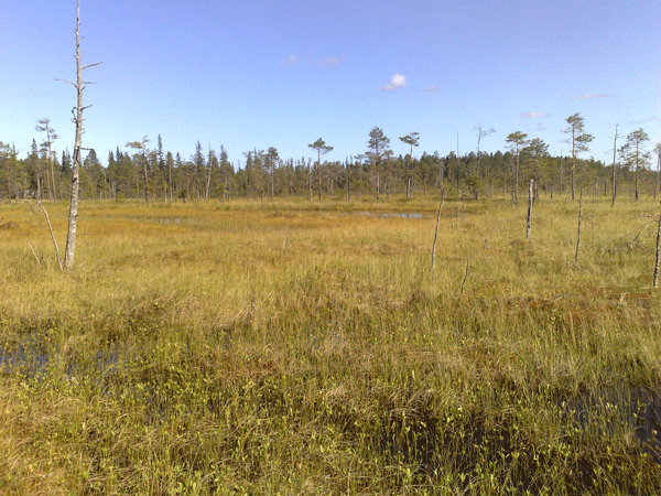
2. Bog located on the 142 km (part of the massif with cadastral number 1312, total area 150 ha) on the southern side of Kostomuksha – Ledmozero road on the left bank of the Kovdoya river (64º30134, 31º78114). Natural raised bog with hummocky-marshy microtopography. Peat layer thickness is 1-3 m, in western part less than 1 m. Peat deposit area is about 15-20 ha, shore line is uneven, hardly suitable for peat production.
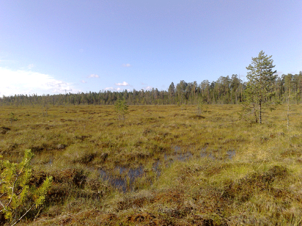
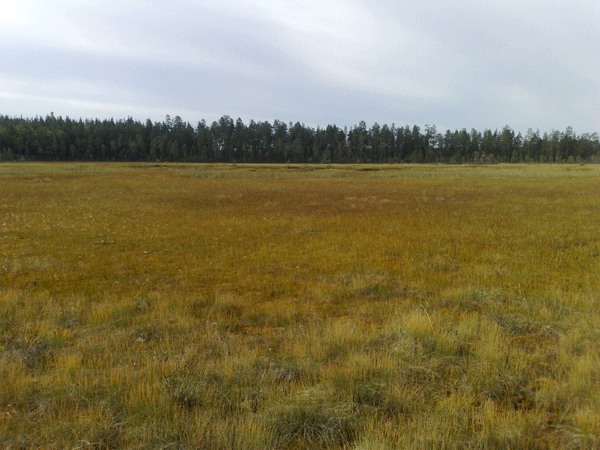
3. Bog located on the 145-146 km (part of the massif with cadastral number 1309, total area 340 ha) on the southern side of Kostomuksha – Ledmozero road on the banks of small river Ruda, (64º30374, 31º71786). Mire system consists of raised cottongrass-Sphagnum and transitional sedge-Sphagnum areas. Peat layer thickness is 1,5 – 2,5 m. Some of the areas are potentially suitable for fuel peat production.
In general mires along this road, located at the distance more than 70-80 km from Kostomuksha should not be included in the shortlist as primary peat production areas.
Bogs located East from Kimasozero lake.
4. Bog located between the road to Kimasozero village and Prtijoki river (part of the massif with cadastral number 1275, total area 500 ha). Southern part of the system was investigated. Essentially it is a narrow area, located between high ridges (bold shores of blind creeks up to 50 m. high). Narrow bog consists of mixed mezotrophic aapa complexes, cottongrass-Sphagnum and raised Sphagnum areas. In general this bog has shallow peat deposit, in eastern part depth is 2,2 m. A lot of dead timber stand. Practically not useful for peat production. Northern part of the mire is located in designated water area of Kimasozero lake.
5. Bog with a small relict lake located on the right bank of Negouksa river (part of the massif with cadastral number 1252, total area 140 ha) and on the southern side of the road to Kostomuksha (64º40156, 31º37840). Raised marshy bog with a small relict lake in the eastern part. Peat deposit depth near the lake is more than 4 m, but in general about 1,5 – 2,5 m. Peat production is not possible because bog is located in designated water area of Kimasozero lake.
6. Bog located on the left bank of Negouksa river (part of the massif with cadastral number 1243, total area 120 ha) and near the road to Kostomuksha (64º42047, 31º32048). Raised cotton-grass-Scheuchzeria-Sphagnum area with peat depth 1,5- 1,7 m. there are many areas with dead pine timber stand. Practically not useful for peat production because of summer houses, located near by.
Bogs east from the lake Vongozero.
7. Area located on the 187 km (part of the massif with cadastral number 1214, total area 520 ha, in the report of «Sevzapgeologia» has the name “Ozernoye”) south from the main road, 1,5 km east from the junction to village Vongozero (64º51708, 31º06470). Swampy, raised Scheuchzeria-Sphagnum area, neighboring with a small lake. Peat deposit depth is more than 4 m. Mire drainage could be difficult because of the hydrostatic head from the lake and also summer houses are located near by.
8. Area along the road to the village Vongozereo (part of the massif with cadastral number 1214, total area 520 ha, in the report of «Sevzapgeologia» has the name “Ozernoye”). Located 2 km south from the main road, in the west borders with the gravel road to the village of Vongozero. Raised bog with pools and ridges and a small relict lake in the central part Peat deposit has a depth of 2-3 m. After additional investigations could be partly used for peat production.
Bogs along the road Kostomuksha – Borovoy.
Largest areas of vast mire systems are located near the junction to the Borovoy village. Total area of 9 mire systems («swampinesses» according to Land Cadastre of 1979) is more than 3 thousand ha (Annexes 1, 2 and 3). In general almost all of them are open transitional mires with small raised areas. Data about some of these massifs, obtained by the Institute of Biology of KRC of the RAS are published in the Annex 3. Information about investigations of «Sevzapgeologia» will be published later. In August 2013 part of these systems located not far away from the road was examined.
9. Bog located 13 km from the junction (no cadastral number) south from the Kostomuksha – Borovoy road under the steep slope. It is Scheuchzeria-Sphagnum swampy area with a small relict lake. Peat thickness is 1-8-2,0 m, near the lake – 2,8 m. Mire drainage could be problematic, area is less than 10 ha.
10. Bog located 12 km from the junction (no cadastral number) south from the Kostomuksha – Borovoy road along the banks of small river (64º55982, 31º17238). Scheuchzeria-Sphagnum area about 15 ha. Shallow peat deposit, max. depth is 1,5-2,0 m.
11. Bog located 10 km from the junction. This massif is located on the border of two regions, that’s why two bogs of which it consists, have different cadastral numbers. Area, located south from the road has cadastral number 1220, it’s total area is 200 ha. Area, located north from the road has cadastral number 995 and consists of two bogs – Stoysuo (68 ha) and Kuksuo (50 ha). Institute of Biology of KRC of the RAS has done investigation of these bogs in 1981. Peat deposit at the Kuksuo bog (64º65017, 31º13843) is Scheuchzeria-Sphagnum. Depth is more than 4 m, area is flooded. Road affects normal water outflow. Southern part of the bog system (cadastral number 1220) is Scheuchzeria-Sphagnum with mineral islands. Peat depth is less than 2 m.
12. Mire system with cadastral number 987 is located at a distance of 4-6 km north from Kostomuksha – Borovoy road. One of the massifs of the mire system is the source of Mutaoja river. When satellite images were analyzed, it became clear that this mire system consists of more than 10 massifs 20-50 ha each. Every massif is connected with each other by narrow and shallow peat. There are some small relict lakes and streams in the system. Total area of the system according to the Land Cadastre is 520 ha, according to satellite images – 440 ha. Several massifs of the system (64º56154, 31º02981; 64º57527, 30º99949) was visited. Most of the system bog areas are mesooligotrophic Scheuchzeria-cotton-grass- Sphagnum with a little sedge family presence. Depth of the peat layer at the investigated areas is 1,5 – 2,8 m, near relict lakes up to 3-4 m. Nowadays logging roads are coming to the southern part of this mire system and almost all forest is cut away in the area. It could decrease the costs for development of this mire system for the purpose of fuel peat production, if decision is made.
On the basis of existing data the following estimation could be made: if average depth of the mire systems along the road Kostomuksha – Borovoy within the distance of 25-35 km. from Kostomuksha is 2 meters, total peat deposit in this area is more than 60 million m3. If boundaries of developing area will be extended to north-east, peat deposits suitable for industrial production will increase greatly.
Nevertheless, it must be taken into account that there is a great number of shallow peat areas, small lakes and fragmented bog massifs (up to 50-150 ha). For this reason real peat production area might be only about 500-600 ha. Timber transport road existing in the region might be renovated and used for peat production and transportation.
Expert:
Chief of laboratory for mire ecosystems
Institute of Biology KRC of RAS
Dr. of Biology, Senior Researcher. Kuznetsov Oleg